blah blah blah
Merrimack River Floodplain Forest
Length: 1.5 miles out-and-back with loopDifficulty (click for info): Beginner
Elevation Gain: minimal
Rating (click for info): 6/10
Driving Directions:
Trailhead and parking area are on West Portsmouth Street in Concord, NH. West Portsmouth Street leaves the west side of Rt. 132 0.8 miles southeast of the rotary at exit 16 off I-93 and 1.1 miles northwest of its interchange with I-393. Travel 0.4 miles down West Portsmouth Street, passing by the Forest Society headquarters, and park in the dirt lot on the left. Click here for a Google map.
Trail Map
About the Hike:
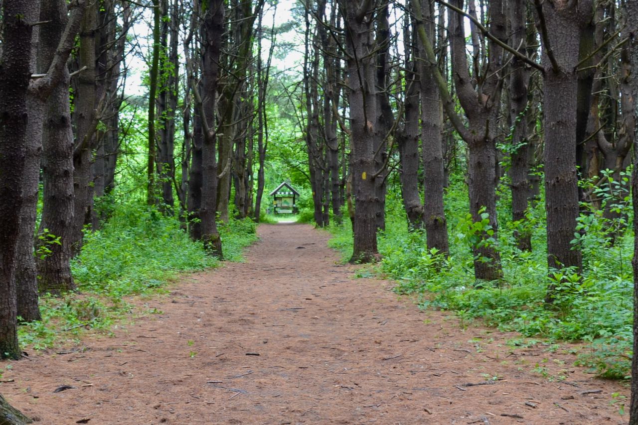
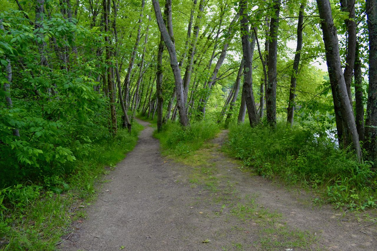
Not far removed from the bustle of downtown Concord, this Forest Society property offers relative seclusion as you explore the interesting and varied terrain along the banks of the Merrimack River. The Merrimack River Outdoor Education and Conservation Area, as it is officially known, is just down the road from the Forest Society's headquarters and offers locals excellent nature walking opportunities through its unique silver maple environment and remnant of a 1960's-era red pine plantation. To reach the trailhead, walk about 150 feet further (to the west) down West Portsmouth Street from the parking area, and you will see the trail enter the woods to the left. Follow it for 0.1 miles as it skirts the edge of a wetland area (the trail forks about halfway through this section and rejoins shortly after) before arriving in the old pine plantation. As a slightly longer loop trail splits off to the right to further explore the plantation, continue for another 0.1 miles toward the river, passing through the neatly-ordered rows of pines. At the end of the straight corridor, arrive at a kiosk and bear left.
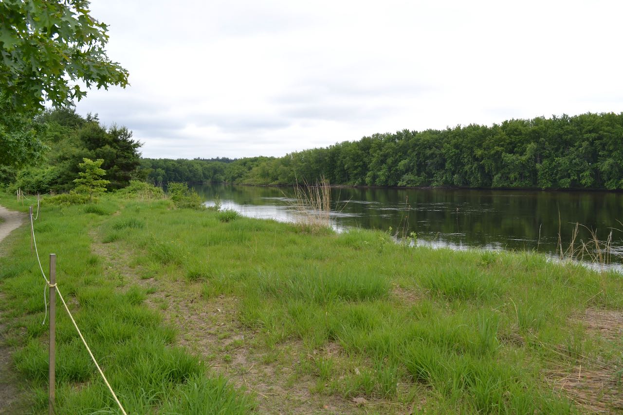
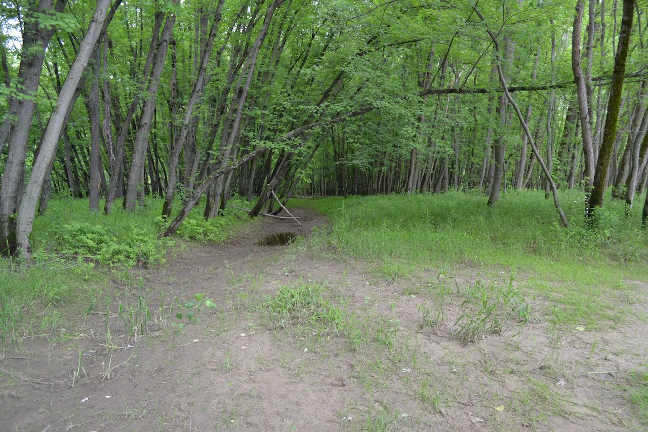
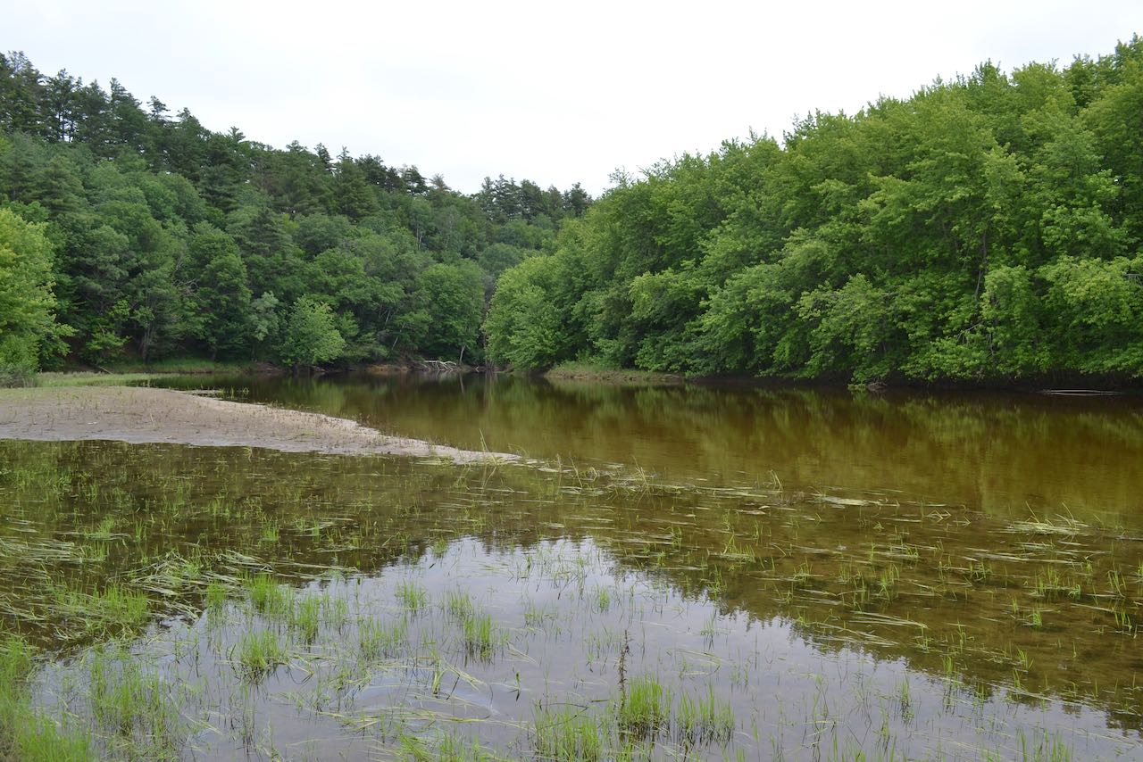
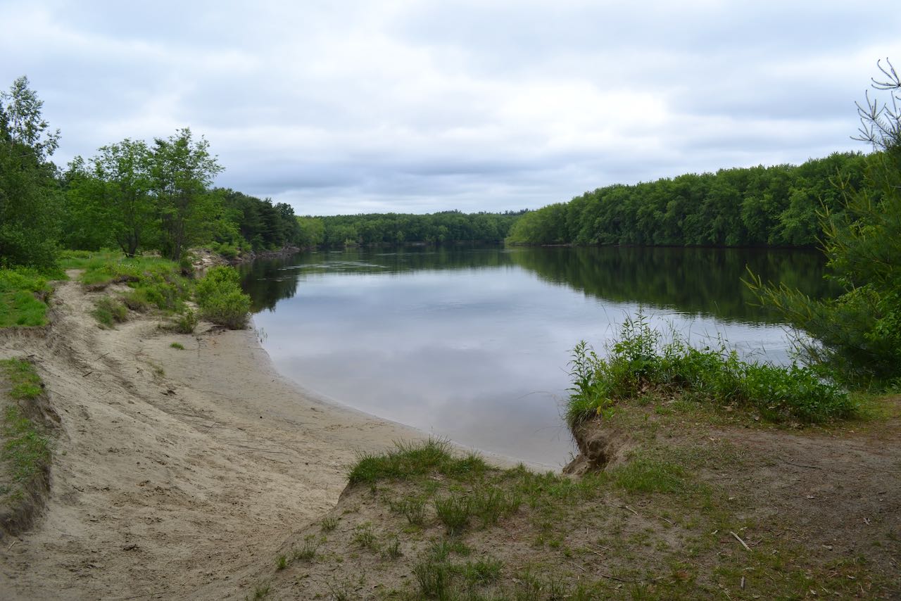
Soon you will emerge on the sandy, washed-out banks of the Merrimack. Enjoy the serene scene with no intrusion from the nearby city. Continue to follow the river closely and take in the scenery; many unmarked connecting paths diverge off to the left. Some portions of the eroded banks are roped off to protect the fragile conditions there. After about 0.4 miles beside the river, you will enter the picturesque grove of silver maples, which lean gracefully over the sandy surfaces. The main trail begins to turn away from the river, as a less-used spur trail continues through the maple grove out to the tip of a peninsula. Continue on the main trail as it winds back around away from the river and nears an inlet called Eastman Cove. Follow the trail straight back through the forest, keeping right at intersections, and you will arrive back at the pine plantation in 0.6 miles. You may also retrace your steps along the river to return.
Printable directions page